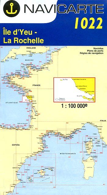
Navicarte Île d'Yeu - La Rochelle
Reference :
NAV1022 Chart at scale 1/100.000 of Atlantic coast from Saint-Gilles-Croix-de-Vie to La Rochelle including the islands île d'Yeu and île de Ré.
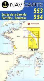
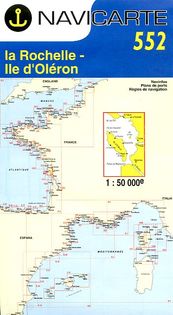
Navicarte are drawn for yachtmen. They offer colourful maps, large-scale plans of harbours, lighthouses and beacons, tidal diamonds, seamarks.

25,75 €